WAKOMATA CROSS COUNTRY
WAKOMATA
This route is classifed as difficult and makes for a good physical work-out and an extremely long day
-
A GOOD PHYSICAL WORK-OUT

I left camp at 6:30 am and met Brent at 8 am at the Kindiogami Road landing. We unloaded, then motored up to Aubrey Falls for fuel, a short 33 mile run. From there, it was a backtrack down the Black Creek road to where the powerline crossed. We cut into the bush and onto the powerline, then headed straight south, using the route as our starting source of navigation.
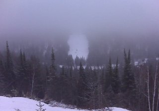
It didn't take long before we encountered our first hurdle at the Sharpsand River. The river was filled with boulders and to top it off, there was a nasty steep 240' hillclimb on the other side.
-

Here are the 11 lakes included on this trip: Lower Island, Upper Island, Lake 1, Fillion, Reserve, Caribou, Trout, No-Name, Finn, Red Rock and Heyden Lakes.
An OFSC trail permit will be required if you decide on making a loop out of this trip and heading south off of Reserve Lake. If you do not have an OFSC permit, you can head north-east past Fillion Lake connecting with Reserve, Kaufmann, Jarvis and Northland Lakes.
-

This easy and enjoyable 11 lake route is located in the snowbelt. As always, please respect the trails, environment and other riders along the way.
Note: There is open water at the south end of Reserve Lake, so, don't venture onto the ice at the lake exit.